Other Information
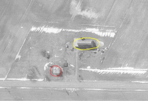
The Ohio Dept of Transportation aerial photo archives were used to locate this barn.
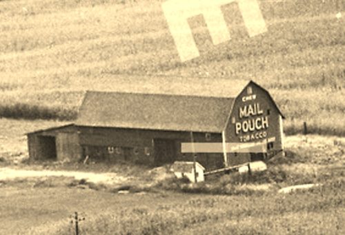
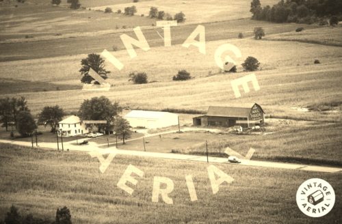
Photo 1 is an enlarged inset view from Photo 2.
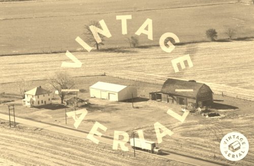
Photo 4 aerial photo the Mail Pouch barn is circled in yellow. The house, which still remains and is shown in Photos 2 & 3 is circled in red. Photo 4 is dated Mar. 1971. Magnifying the end of the barn shows that the Mail Pouch sign was not on the barn at that date.
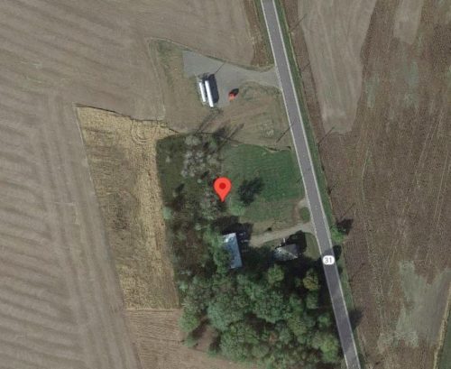
Photo 5 (Google satellite image) the red pin marks where the Mail Pouch barn once stood. The pin was used to determine the address and the coordinates.
Where to find it *GONE* (razed and removed) Along the west side of OH-31 north of the US-36 intersection, in Marysville, by 7.2 miles. The barn was on the left side of the highway headed north from Marysville. The Mail Pouch sign faced north. One end. Red Background.
