Other Information
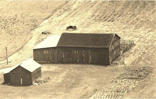
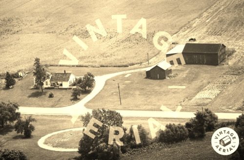
Photo 1 is an enlarged inset view from Photo 2.
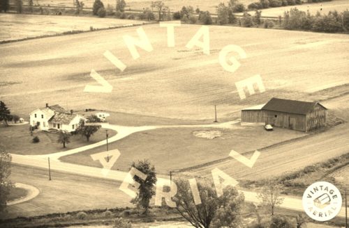
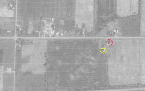
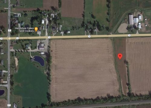
The Ohio Dept of Trasnportation aeiral photo archives were used to locate this barn. In Photo 4 the Mail Pouch barn is circled in yellow. The house shown in Photos 2 & 3 is circled in red. It has been razed and removed. Photo 5 (Google satellite image) the red pin is the location of where the Mail Pouch barn once stood. The pin was used to determine the address and the coordinates.
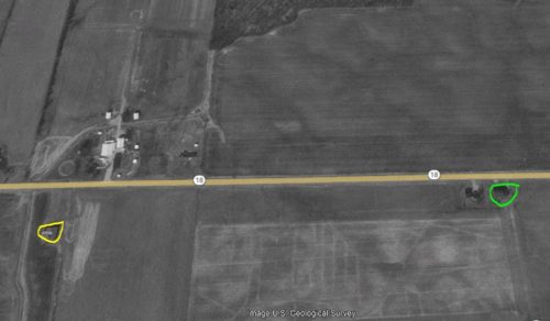
In Photo 6 the Mail Pouch barn at the left of the view is circled in yellow. MPB 35-47-04 at the right of the view is circled in lime.
Where to find it *GONE& (razed and removed) Along the south side of OH-18 west of OH-67 intersection, in Republic, by 1.6 miles. The barn was on the left side of the highway headed west out of Republic. The Mail Pouch sign faced west. One end. Black Background.
