County
Sides Painted
2
Color
Black
Structure
Barn
Unique Characteristics
None
Still Standing
No
Credits
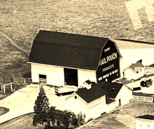
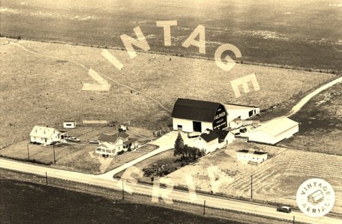
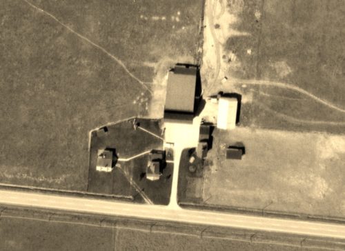
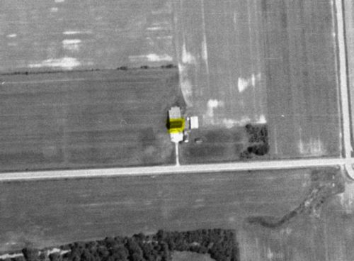
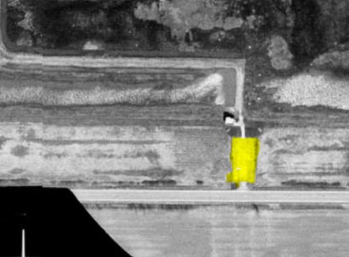
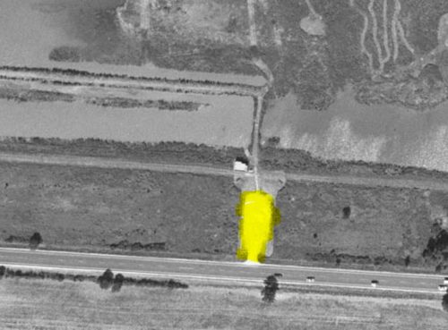
Photos 1 & 2 by unknown (1964 VA # 058-SSA-24 - courtesy of Vintage Aerial).
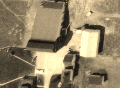
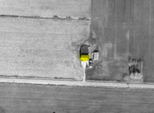
Photo 3 by unknown (Apr. 1963 2520-1-4 - courtesy of Ohio Dept. of Transportation).
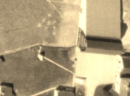
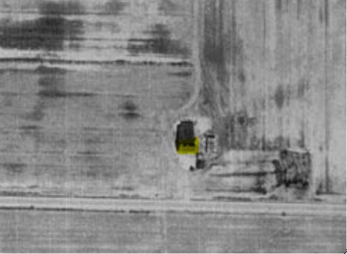
Photo 4 by unknown (Apr. 1963 2520-1-6 - courtesy of Ohio Dept. of Transportation).
Photo 5 by unknown (Apr. 1963 2520-1-5 - courtesy of Ohio Dept. of Transportation).
Photo 6 by unknown (June 1977 7716002-71 - courtesy of Ohio Dept. of Transportation).
Photo 7 by unknown (Nov. 1983 8331301-71 - courtesy of Ohio Dept. of Transportation).
Photo 8 by unknown (Apr. 1988 10641-57703-101 - courtesy of Ohio Dept. of Transportation).
Photo 9 by unknown (Apr. 1997 9710913-108 - courtesy of Ohio Dept. of Transportation).
Photo 10 by unknown (Sept. 2002 10895-10-459 - courtesy of Ohio Dept. of Transportation).
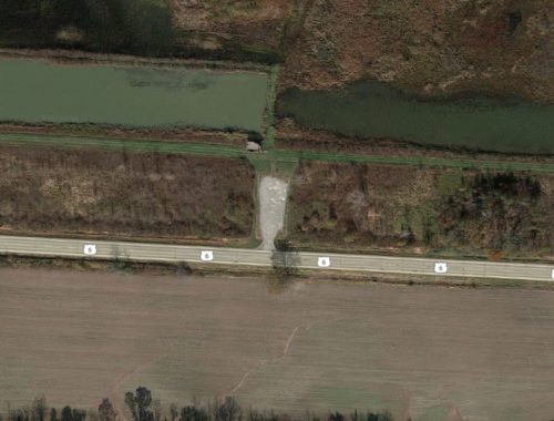
Photo 11 Google satellite image.
Other Information
Photo 1 is an enlarged inset view from Photo 2.
The Ohio Dept. of Transportation aerial images were researched by Rick Hentz, Aerial Image Curator for the Dept. The Vintage Aerial photos 1 & 2 showed only the east end of the barn with a Mail Pouch sign; however, Rick's research found that there was a Mail Pouch sign on the west end of the barn as well (Photo 4). Photos 5-10 are aerial photos of the site showing the site changes over the years. Note that by June 1977 the two residences noted in photos 2 & 5 were already gone. Photo 11 is a Google Earth photo provided for coordination with the other photos. Photos 10 & 11 show a structure which is actually a viewing platform. The site was incorporated into the Pickerel Creek Wildlife Area.
Where to find it
*GONE* (razed and removed) Along the north side of US-6 E, east of intersection with OH-510 by 1.3 miles. The barn was on the left side of the highway headed east. Two Mail Pouch signs, one on each end, facing east and west. Black backgrounds.
Address
4402 Chichasaw Trail (US-6 E)
Address Line 2
Grand Army of the Republic Highway
City
Vickery
State
OH
Zipcode
43464
Country
USA
Latitude
N 41° 24.56'
Longitude
W -82° 56.90'
lat
41.409333
lng
-82.94833
