Other Information
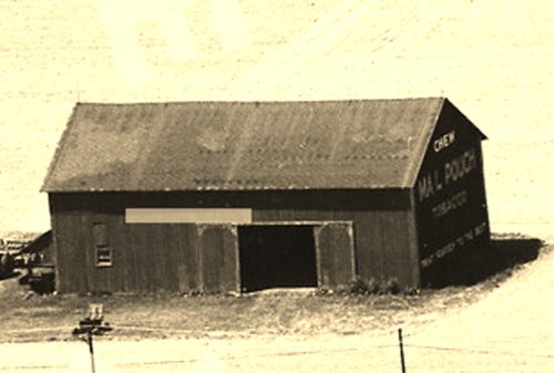
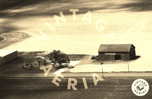
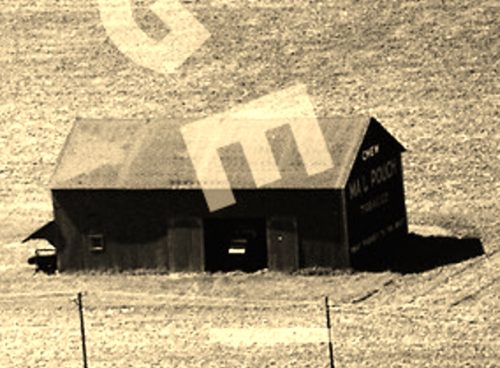
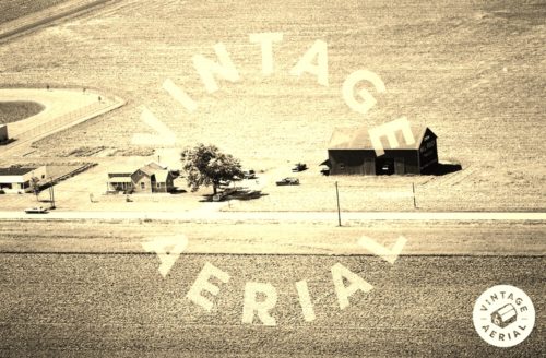
Photo 1 is an enlarged inset view from Photo 2; and, Photo 3 is an enlarged inset view from Photo 4.
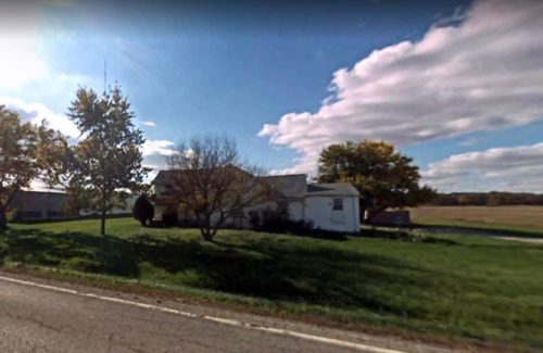
Photo 5 is a 2008 Google street view which shows that the house in Photos 2 & 4 was still standing as of that date.The barn and the building to the left of the house had been razed and removed.
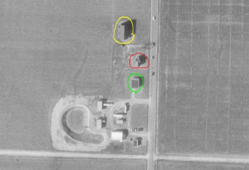
Note that Photo 2 is in the Vintage Aerial flights for Fulton County, Ohio.
The Ohio Dept. of Transportation aerial photo archives were used to determine the location of this barn. In Photo 6 the Mail Pouch barn is circled in yellow, the existing house (shown in Photos 2 & 4, is circled in red; and, the buildings at the left in Photos 2 & 4 is circled in lime.
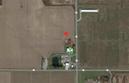
Photo 7 (Google satellite image) the red pin marks the location of where the Mail Pouch barn stood. This pin was used to determine the address and coordinates. The location of the house is circled in red; and, the building at the left (now gone and replaced by the 'Turning Point Pentecostal Church) is circled in lime.
Where to find it *GONE* (razed and removed) Along the west side of OH-66, south of the RR crossing, in Archbold, by 3.4 miles. The barn was on the right side of the higway headed south from Archbold. The Mail Pouch sign faced north. It appears to have been a Black Backgound; however, it may have been Red. The views are not clear encough to firmly determine the background color of the sign.
