- [01] Allegany Co, MD (1)
- [02] Anne Arundel Co, MD (2)
- [04] Baltimore City, MD (3)
- [07] Carroll Co, MD (2)
- [11] Frederick Co, MD (1)
- [12] Garrett Co, MD (9)
- [19] Saint Marys Co, MD (1)
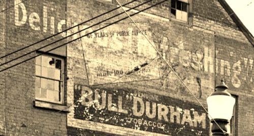
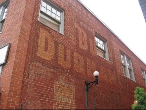
*GONE* (sandblasted away) At the southeast corner of the Main St. & Green St. intersection in Annapolis. The Bull Durham sign faced northwest. One end. Brick building.
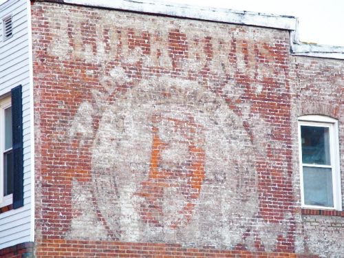
Annapolis. One side. Brick building. Unknown original background color. Greatly faded.
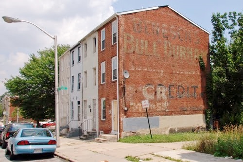
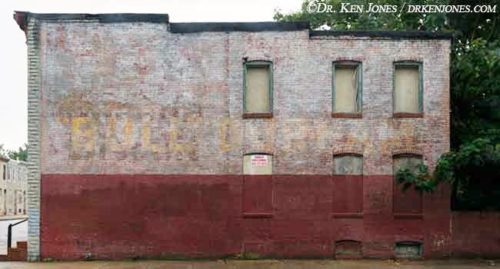
Along the southeast side of W. Lafayette Ave., in Baltimore, southwest of Pennsylvania Ave. by about 170'. The three-story brick row-house is on the left side of the avenue headed southwest. One end. Unknown original background color. Brick building. Greatly faded (may be *GONE*).
*GONE* (razed and removed) Southwest corner of Collington Ave. & E. Eager St. intersection, in Baltimore. One side. Two-story Brick building.
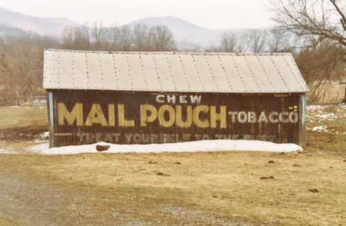
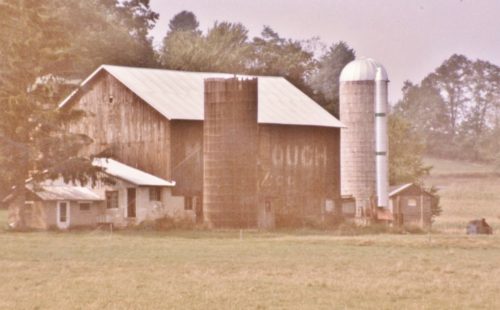
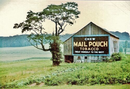
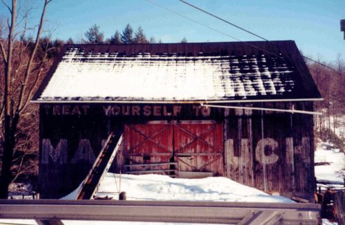
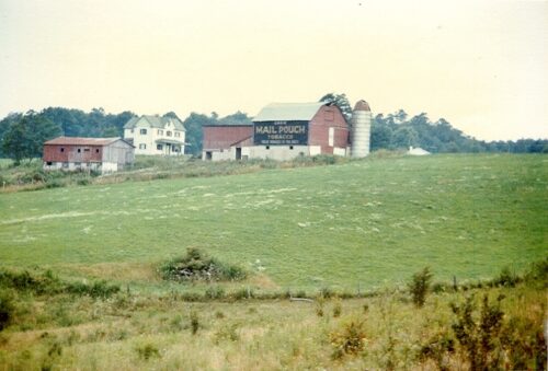
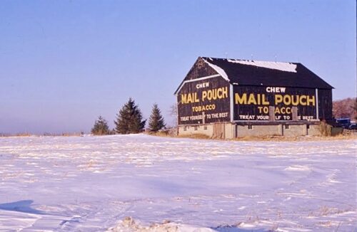
*GONE* (razed and removed) Along the southest side of McMullen Hwy SW (US-220) north of the WV State line by about 1.2 miles (north of Keyser, WV). The barn was on the right side of the highway headed northeast. The Mail Pouch sign faced northwest. One side. Black background.
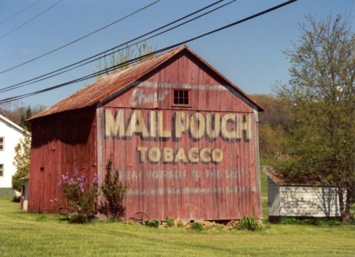
Along the southeast side of Manchester Rd. (MD-27) west of MD-30 by about 1.0 mile. The barn is on the left side of the highway headed southwest. Mail Pouch sign faces southwest. One end. Red background. Greatly faded.
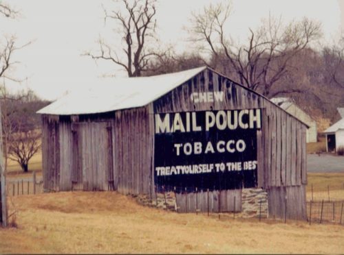
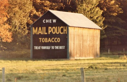
Along the southeast side of Ridge Rd. (MD-27) north of I-70/US-40 exit 68 by about 4.5 miles. The barn is on the right side of the highway headed northeast. Mail Pouch sign faces southwest. One end. Black background.
Along the southeast side of Garrett Hwy (US-219) north of US-50 (George Washington Hwy) by about 6.0 miles. The barn is on the right side of the highway headed northeast. The Mail Pouch sign faces northeast One end. Black Background.
*GONE* (faded away) Along the northeast side of Garrett Hwy (US-219) north of US-50 (George Washington Hwy) by about 1.4 miles. The barn is on the right side of the highway headed northwest. There was a Mail Pouch sign on the east and west sides and a Mail Pouch sign on the south end. Two sides. One end. Black background.
*GONE* (razed and removed) Along the southwest side of George Washington Hwy (US-50), southeast of US-219 by about 0.6 miles. The barn was on the right side of the highway headed southeast. Two ends. Black backgrounds.
US-40 (National Pike) east of the PA State line by about 4.5 miles. The barn is on the right side of the highway headed east and is very difficult to see from the road. One end & one side. Original black. Greatly faded.
*GONE* George Washington Hwy. (US-50) west of the WV-90 intersection in Gormania, WV, by about 1.0 mile. The barn was on the left side of the highway headed west. The Mail Pouch sign faced southeast. One side. black background.
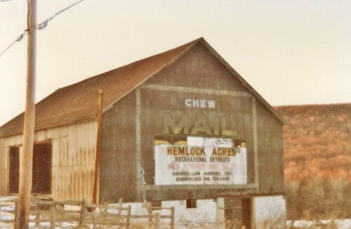
*GONE* (razed and removed) Along the northeast side of National Pike (US-40) just south of entrance to Hemlock Acres and just southeast of Maryland/Pennsylvania state line by 0.8 mile. The barn was on the left side of the highway headed southeast from PA. One end. Black background. Mail Pouch sign faced southeast.
*GONE* (faded away) Along the northeast side of George Washington Hwy.(US-50) southeast of the WV/MD State line by 0.3 miles. The barn is on the left side of the highway headed southeast. The Mail Pouch sign (no longer visible) faced southeast. One end. Black background.
Unknown location in the county.
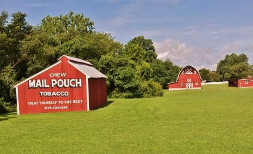
Along the south side of Cross Manor Rd., in Saint Inigoes. The Mail Pouch sign faces east. One end. Red background.
*GONE* (razed and removed) Along the north side of the National Pike (US-40) east of US-219 by about 5.3 miles. The barn was on the left side of the highway headed east. Two ends and one side. West end and south side of barn were Mail Pouch. East end of the barn was Kentucky Club. black backgrounds.
At the southeast corner of W. Fort Ave. & Clarkson St. intersection. The Mail Pouch sign faces west. Two-story brick building. Original black background. Greatly faded.
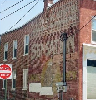
Northeast corner of the E. 4th St. & Maxwell Ave. intersection, in Frederick. The Sensation Tobacco sign faces west. One side. Two-story brick building. Unknown original background color. Greatly faded.
