MPB 38-16-13

Photo 1
Sides Painted
1
Color
Black
Structure
Barn
Unique Characteristics
None
Still Standing
No
Credits

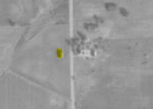
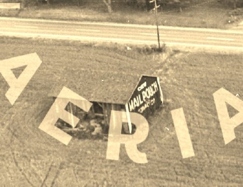
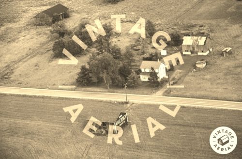
Photos 1 & 2 by unknown VA # 18-OCL-12 (1969) courtesy of Vintage Aerial

Photo 3 by unknown (1967-1972) Courtesy of Penn Pilot

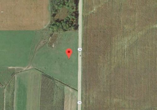
Photo 4 Google satellite image.
Other Information

Photo 1 is an enlarged inset view from Photo 2.

The barn, on the left side of the highway (highlighted yellow) and the other buildings, in Photo 2, on the right side of the highway are
clearly visible in Photo 3 (Penn Pilot). Also, in Photo 4, note the landscape markers such as the arroyo running diagonally across the lower left of Photo 4 and the tree line along the upper part of photo 3 and compare these features with Photo 4, the Google Earth photo.
Where to find it

*GONE* PA-36 northeast of the PA-208/PA-157 intersection north of Frysburg, by about 6.2 miles. Follow PA-208 northeast about 5.0 miles to the intersection with PA-36. Follow PA-36 north 1.2 miles. The barn was on the left (west) side of the highway. The site directly across the highway from the barn location has also been cleared. The Mail Pouch sign faced south. One end (due to the relationship of the highway very possibly two ends). Black background.
Address
12060 PA-36
City
Tionesta
State
PA
Zipcode
16353
Latitude
N 41° 24.73'
Longitude
W -79° 22.12'
lat
41.412167
lng
-79.368667
  • Photo 2
  • Photo 3
  • Photo 4