Other Information
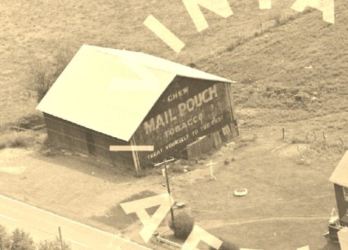
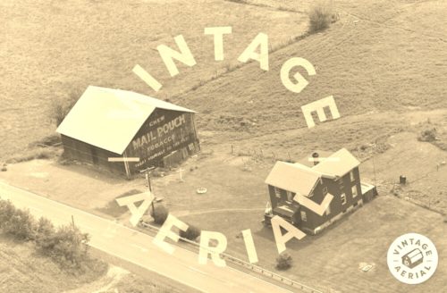
Pphoto 1 is an enlarged inset view from Photo 2.
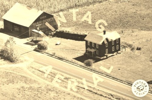
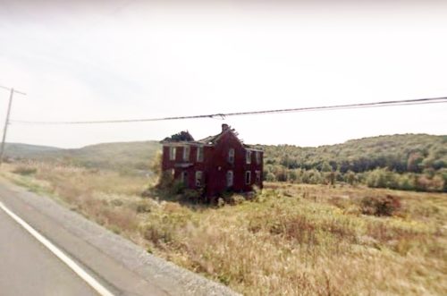
Photo 4 Google street view (Sept. 2008) was used to help determine the location of where the barn once stood. The house in the Vintage Aerial views (Photos 2 & 3) is clearly shown, in falling down condition, in the Google street view. The Sept. 2008 view is included in the listing since future Google views along the route will show the house is now gone. The barn was down and the site was cleared prior to 2008.
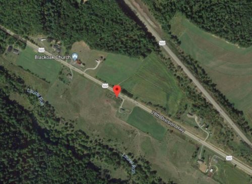
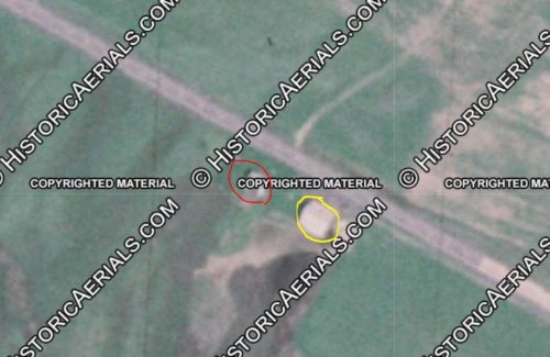
Photo 6 the Mail Pouch barn is circled in yellow. The existing house (now gone) is circled in red. The location of the pin (Photo 5 and the barn circled in yellow (Photo 6) all based on the same coordinates.
Where to find it *GONE* (site has been cleared) Along the southwest side of US-322 S (Flat Rock Rd/28th Division Hwy), northwest of S. Eagle Valley Rd., in Port Matilda, by about 2.5 miles. The barn was on the southwest side of the highway. The Mail Pouch sign faced northwest. One end. Black background.
