Credits
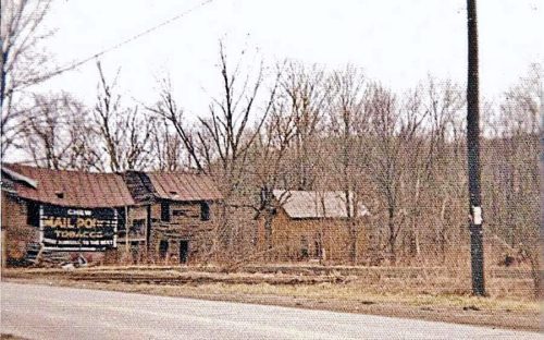
Photo 1 by Maurice Zimmerman (ca. early 1950's - contributed by Maxine Zimmerman Dudley).
Photo 2 by unknown (ca. 1962 - contributed by Rob Dishon).
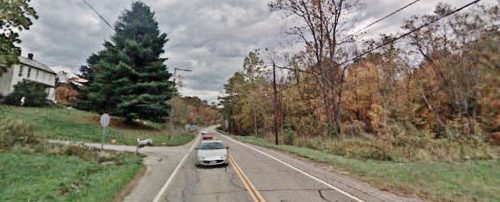
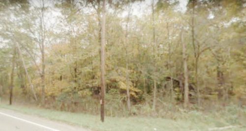
Photos 3 & 4 Google street view (Oct. 2007).
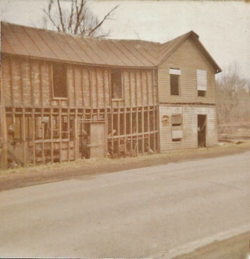
Photo 5 by unknown (ca. 1954 - contributed by Rob Dishon).
Photo 7 Google satellite image.
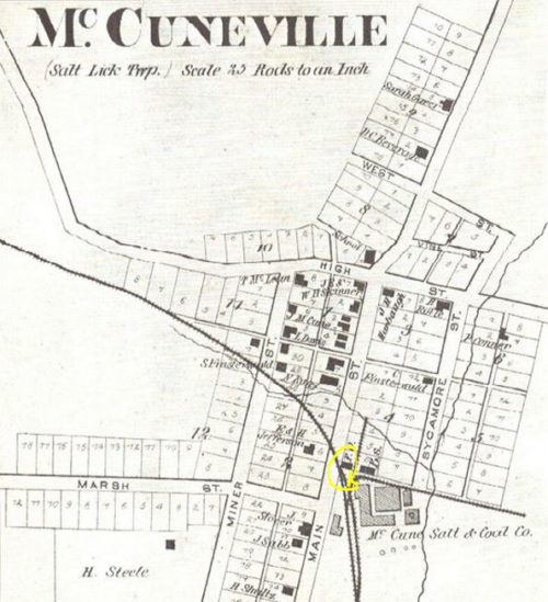
Photo 8 Antique map of McCuneville (contributed by Rob Dishon).
Other Information
The building was demolished in 1976.
Detailed location instructions provided by Rob Dishon. 'Twp Rd. 191 is Marsh St. The house just north of Twp. Rd 191 is directly across the street from where the old store stood.' Photo 3 (Google street view) indicates the referenced house at the left of the view and the stop sign marks the location of the intersection of Twp. Rd. with OH Rt. 93. Photo 5 is another view of the store taken from the northwest, with OH-93 (Main St.) in the foreground.
Photo 4 (Google street view) is looking into the wooded area toward the building site. Building rubble is visible in the view.
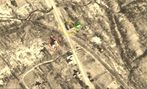
Photo 6 is a view from the Ohio Dept of Transportation aerial photo archives. In the photo the building with the Mail Pouch sign is circled in yellow. The small barn to the right of the building (see Photo 2) is circled in lime. The house across OH-93, visible in Photo 3 is circled in red.
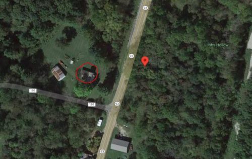
Photo 7 (Google satellite image) the location of the building with the Mail Pouch sign is noted by the red pin. The pin was used to determine the address and the coordinates. The house across the highway is circled in red.
Photo 8 is an Antique Map of McCuneville. The location of the building with the Mail Pouch sign in noted by the yellow circle.
Where to find it *GONE* Along the east side of OH-93, in McCuneville, north of the OH-93/OH-155 junction (2nd St.), in Shawnee, by 2.2 miles. The building was on the right side of the highway headed north. The sign faced south. One side. Black Background.
