MPB 48-42-08

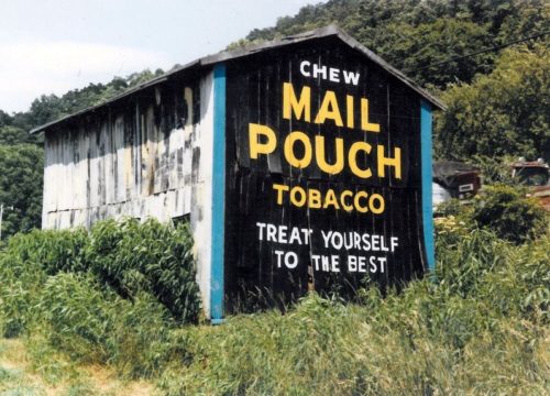
Photo 1
Sides Painted
2
Color
Black
Structure
Barn
Unique Characteristics
None
Still Standing
No
Credits

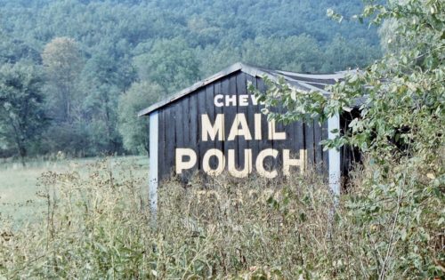
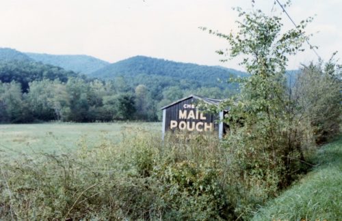
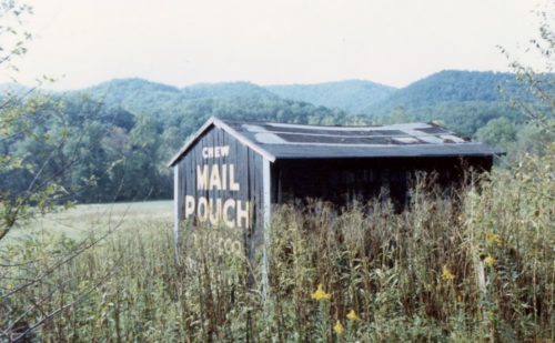
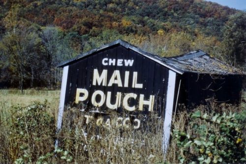
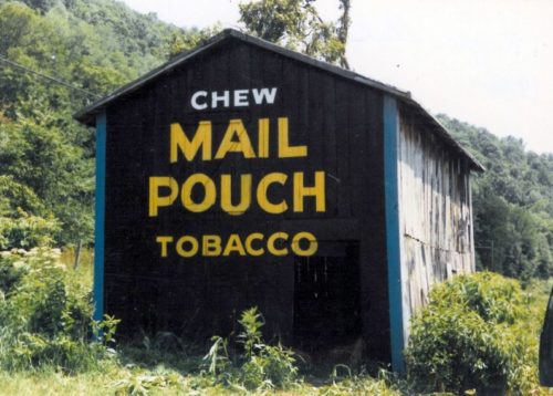
Photos 1 & 7 by either Harley or Roger Warrick (ca. 1982-3) (Warrick Family Collection).

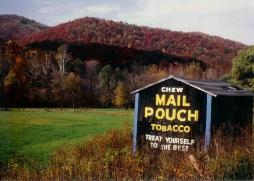
Photo 2 by Martha Dougherty (1984).

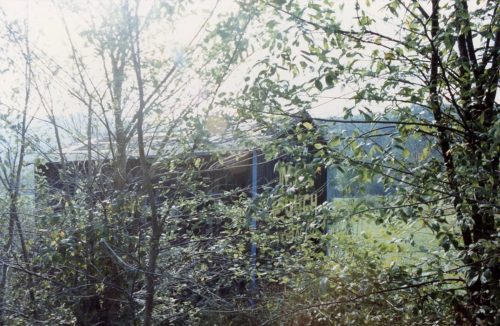
Photos 3-5 & 9 by Larry Zinn (Sept. 20, 1987 - contributed by Butch Moon).

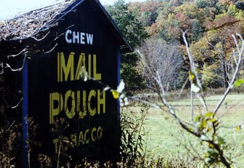
Photos 6 & 10 by Martha Dougherty (1990).

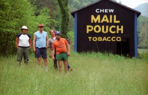
Photo 8 by Jim Hopkins (1986).
Other Information

Photos 1-6 are views of the south end of the barn.

Photos 7-10 are views of the north end of the barn.

Roger Warrick helped his father paint this barn back in the early 1980's.

The GPS coordinates are approximate and are based on the location description provided by Larry Zinn and the very similar arrangement of the mountains in the distance when comparing photo views and views from the Google street views.

Included photo 8 by Jim Hopkins since there are not many views of the barn. Attempts have been made to contact Jim Hopkins; however, never could make contact. Interesting note regarding his photograph. He took the photo of his friends , who the day before had gone spelunking in the Simmons Mingo Cave, which according to information on the internet is a dangerous cave. He said they did their caving with 'cold beer and liquor'!! 
Where to find it

*GONE (fallen and removed)*US Rt. 219/WV Rt. 55, north WV 15, at Valley Head by about 1.2 miles. The barn was on the left side of the highway headed north. Two ends. Black.
Address
23339 Seneca Trail (US-219/WV-55)
City
Valley Head
State
WV
Zipcode
26294
Country
USA
Latitude
N 38° 34.2158'
Longitude
-80° 01.9189'
lat
38.570263
lng
-80.031981
  • Photo 2
  • Photo 3
  • Photo 4
  • Photo 5
  • Photo 6
  • Photo 7
  • Photo 8
  • Photo 9
  • Photo 10