Credits
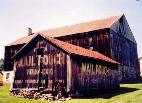
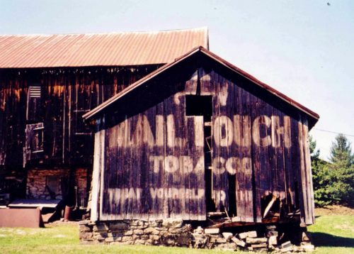
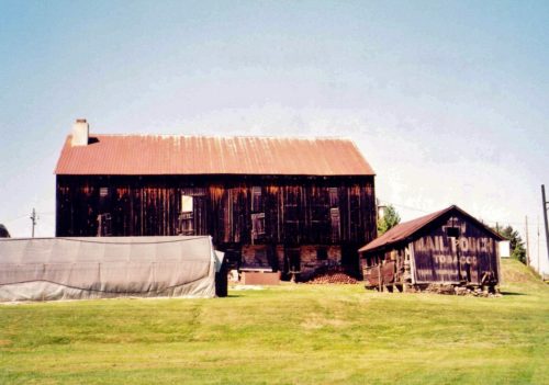
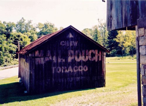
Photos 1-3 & 6 by Lonnie Schnauffer (Aug. 2003).
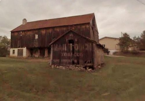
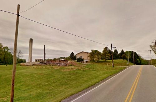
Photo 4 Google Earth street view (ca. 2008).
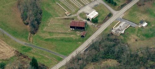
Photo 5 Bing Map's bird's eye view (ca. 2010).
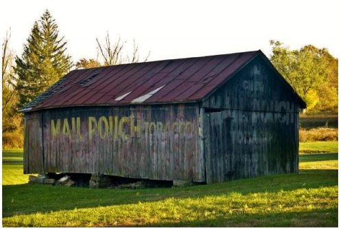
Photo 7 by Ralph Brandt (Nov. 21, 2010).
Photo 8 by Alan McWilliams (ca. 2011).
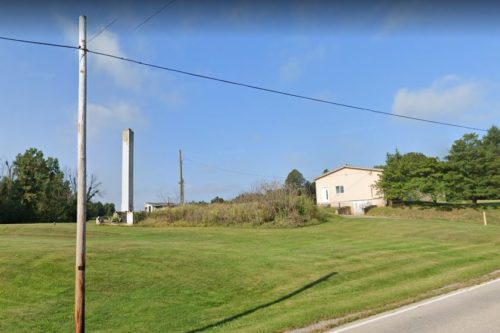
Photo 9 Google street view (Apr. 2012).
Photo 10 Google street view (Sept. 2019).
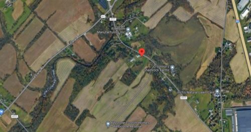
Photo 11 Google satellite image.
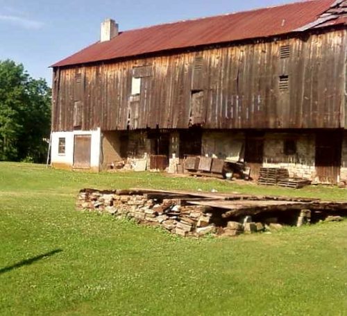
Where to find it *GONE* N. Susquehanna Trail (St. Rt. 4005), approximately 200' south of PA Rt. 921 (E. Canal Road). South of Zion's View by about 0.4 miles. The barn was on the right side of the highway headed southeast. Two ends and one side. Black.
