MPB 38-63-09

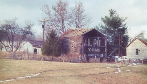
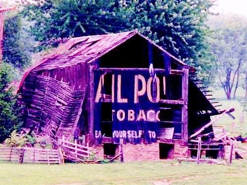
Photo 1
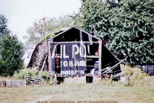
Sides Painted
1
Color
Black
Structure
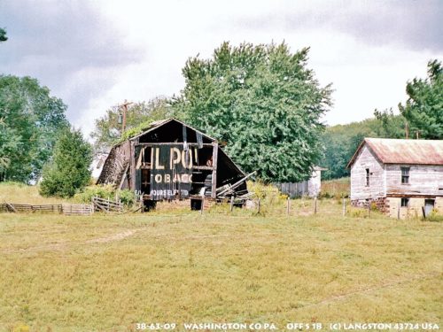
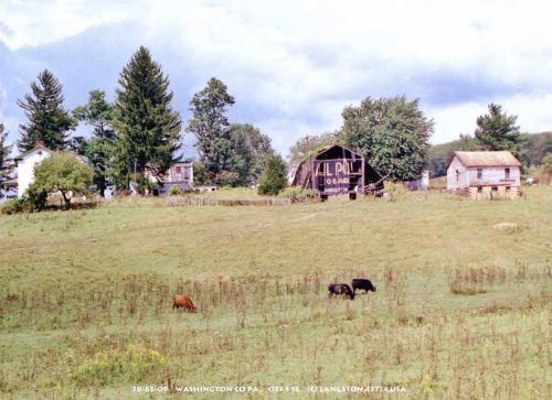
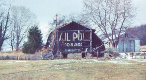
Barn
Unique Characteristics
None
Still Standing
No
Credits

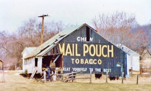
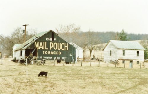
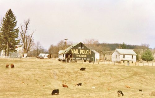
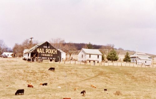
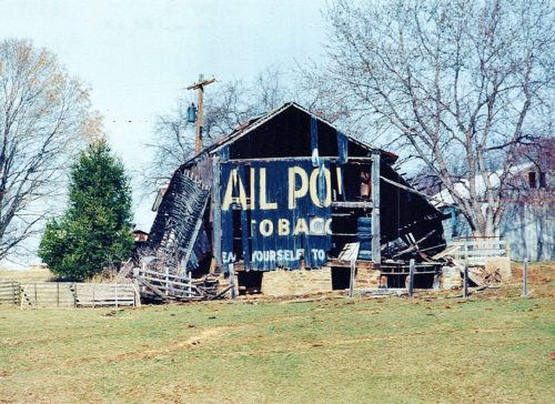
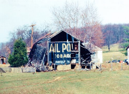
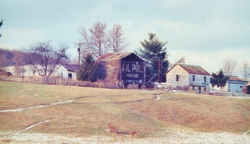
Photos 1 & 2 by Dave and Mary Ann Shaver (Oct. 5, 1986).

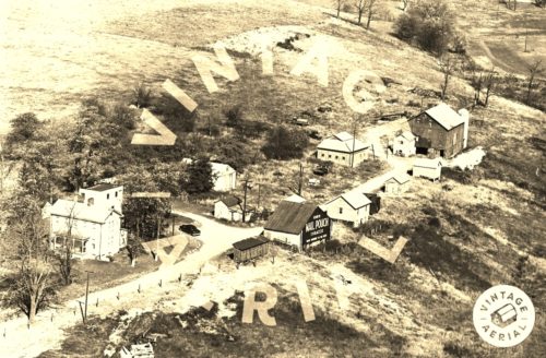
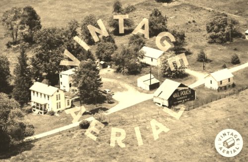
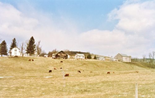
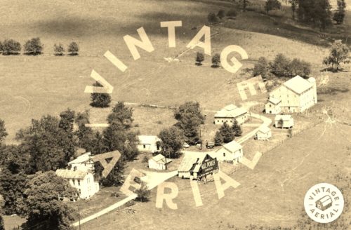
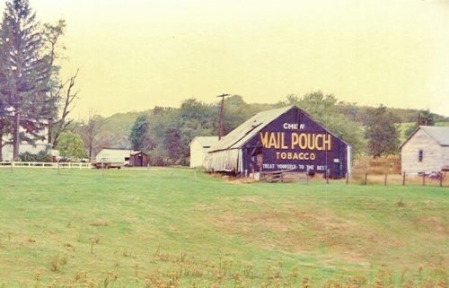
Photo 3 by unknown VA # 98-DWA-4 (1966) courtesy of Vintage Aerial

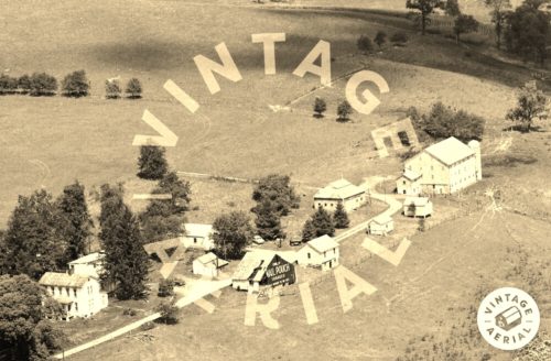
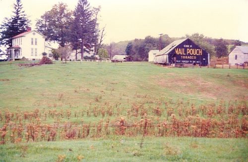
Photo 4 by unknown VA # 168-YWA-35 (1983) courtesy of Vintge Aerial

Photos 5-9 by Larry Zinn (Mar. 1988 - contributed by Butch Moon).

Photo 10 by unknown VA # 48-NWA-6 (1988) courtesy of Vintage Aerial

Photo 11 by unknown VA # 48-NWA-7 (1988) courtesy of Vintage Aerial

Photos 12 & 13 by Gyla Schnauffer (Mar. 1996). 

Photo 14 by Martha Dougherty (ca. June 1996). 

Photos 15-17 by Jim Langston (ca. 1990's). 

Photos 18-22 by Dave Tower (Dec. 1996). 

Photo 23 by Elmer Napier (ca. 1999). 

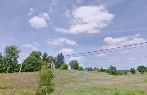
Photo 24 Google street view (June 2012).
Other Information

Photo 24 (Google street view - June 2012) shows the barn gone and the site cleared.

Since June 2012 all the buildings on the site have been demolished and the site has been completely cleared.
Where to find it

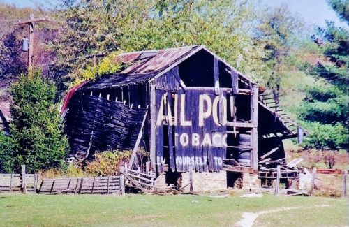
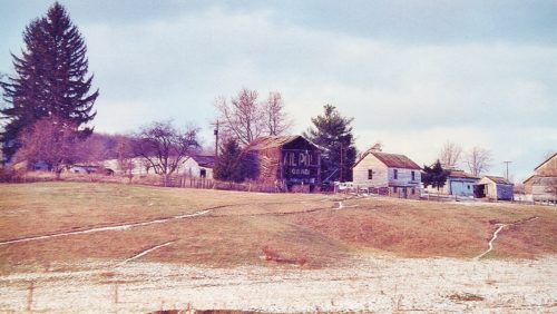
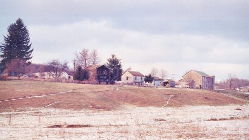
*GONE (fallen -site cleared)* PA Rt. 18 (Burgettstown Rd./Smith Township State Rd.) northeast of PA Rt. 18 (Main St.) intersection (west of Hickory) by about 2.7 miles. The barn was on the right side of the highway headed northwest, just past the intersection with Covered Bridge Rd. The MP sign faced southeast. One end. black.
Address
1228 Smith Township State Rd (PA-18)
City
Burgettstown
State
PA
Zipcode
15021
Country
USA
Latitude
N 40° 19.50'
Longitude
W -80° 21.50'
lat
40.325029
lng
-80.358553
  • Photo 2
  • Photo 3
  • Photo 4
  • Photo 5
  • Photo 6
  • Photo 7
  • Photo 8
  • Photo 9
  • Photo 10
  • Photo 11
  • Photo 12
  • Photo 13
  • Photo 14
  • Photo 15
  • Photo 16
  • Photo 17
  • Photo 18
  • Photo 19
  • Photo 20
  • Photo 21
  • Photo 22
  • Photo 23
  • Photo 24