Credits
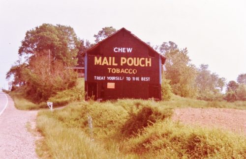
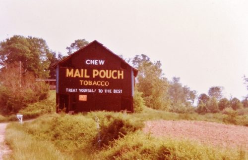
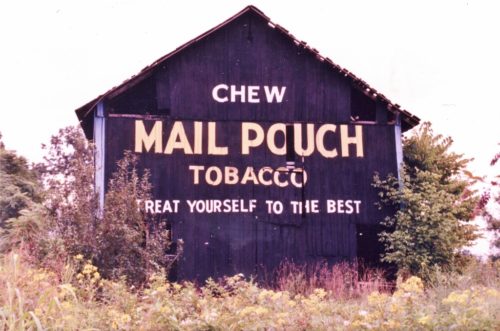
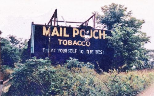
Photos 1 & 2 by Larry Zinn (May 1988 - contributed by Butch Moon).
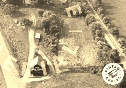
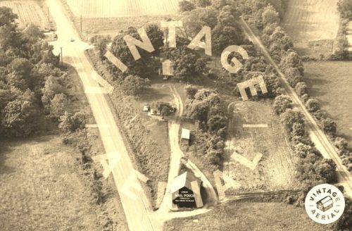
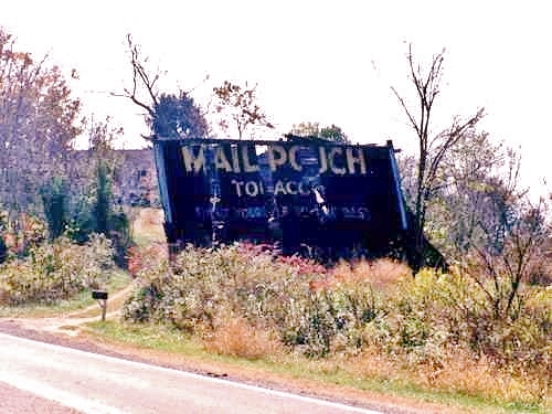
Photos 3 & 4 by unknown VA # 1-CMA-15 (1982) courtesy of
Vintage AerialPhoto 5 by Jake Forbes.
Photo 6 by unknown.
Photo 7 by Elmer Napier.
Photo 8 Bing Map's bird's eye view.
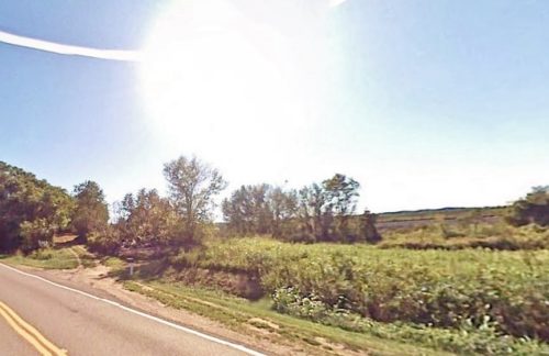
photo 9 Google street view (Sept. 2007).
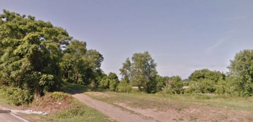
Photo 10 Google street view (June 2018).
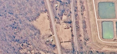
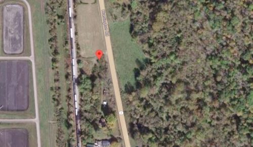
Photo 11 Google satellite image.
Where to find it *GONE* (fallen and removed) Along the west side of Huntington Rd. (WV-2) south of US-35 by about 11.4 miles. The barn was on the right side of the highway headed south. The Mail Pouch sign faced northeast. One end. Black background.
