MPB 38-26-13

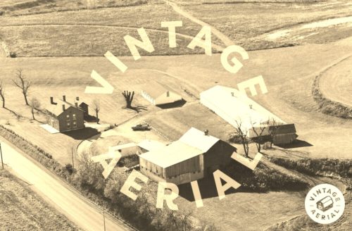
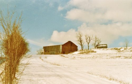
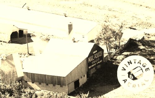
Photo 1
Sides Painted
1
Color
Black
Structure
Barn
Unique Characteristics
None
Still Standing
No
Credits

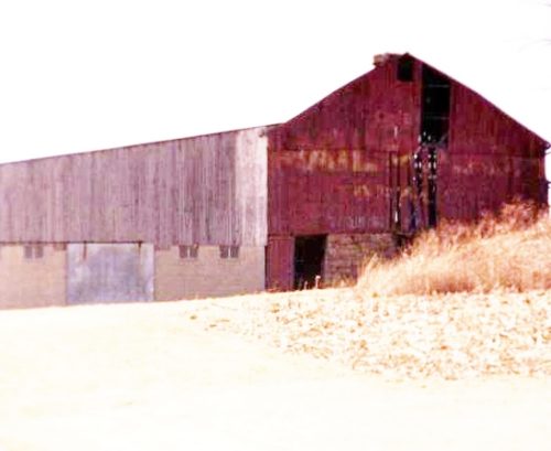
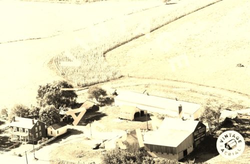
Photos 1 & 2 by unknown VA # 22-LFA-30 (1971) courtesy of Vintage Aerial

Photo 3 by unknown VA # 120-TFY-13 (1984) courtesy of Vintage Aerial

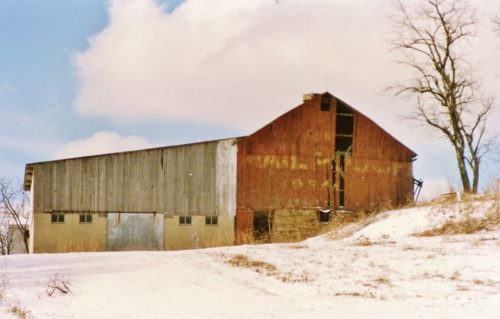
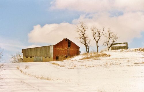
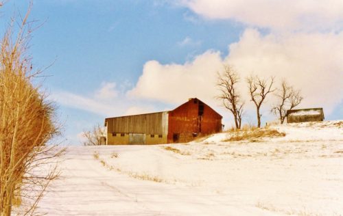
Photos 4-7 by Larry Zinn (Mar. 1988 - contributed by Butch Moon). 

Photo 8 by Bill Plack (1989). 

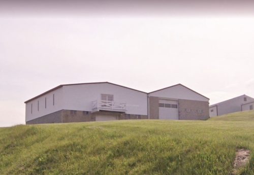
Photo 9 Google street view (May 2023).

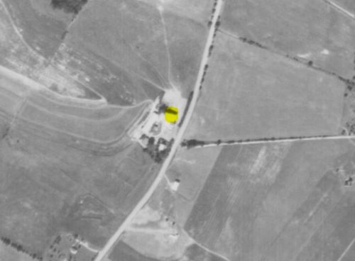
Photo 10 by unknown (Sept. 11, 1967) courtesy of Penn Pilot
Other Information

Photo 1 is an enlarged inset view from Photo 2.

US Rt. 119, during the time of the photos was Morgantown Rd. and ran north through Uniontown. The PA Tpk/Mon-Fayette Expressway did not exist at that time. Larry Zinn's location directions put the location at the position noted below. Used the Penn Pilot program to confirm the location and the GPS coordinates.

The barn is Hi-lited in yellow on Photo 10.
Where to find it

*GONE* (razed and removed - replaced with new structure)  US Rt. 119 (Morgantown Rd.) south of PA Rt 43 (Pennsylvania Turnpike/Mon-Fayette Expressway) intersection by 1.2 miles. The barn was on the right side of the highway headed south. The MP sign faced north. One end.
Address
2298 Morgantown Rd (US-19)
City
Uniontown
State
PA
Zipcode
15401
Country
USA
Latitude
N 39° 50.99'
Longitude
W -79° 45.59'
lat
39.849830
lng
-79.759789
  • Photo 2
  • Photo 3
  • Photo 4
  • Photo 5
  • Photo 6
  • Photo 7
  • Photo 8
  • Photo 9
  • Photo 10