Credits
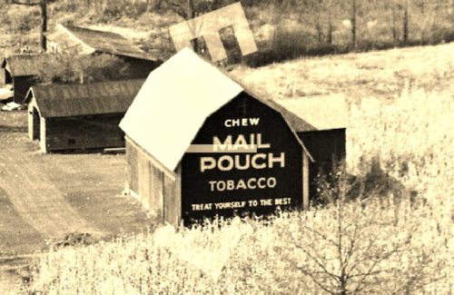
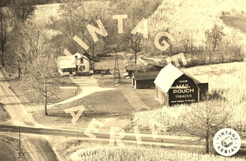
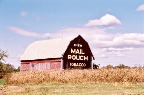
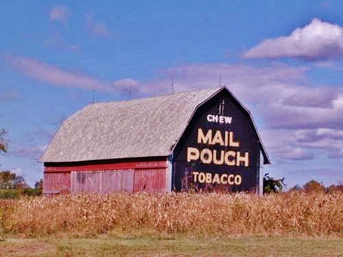
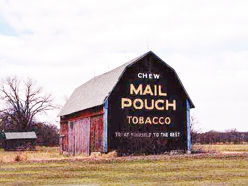
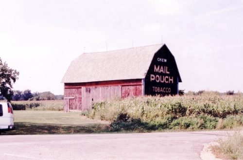
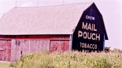
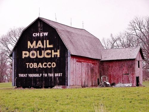
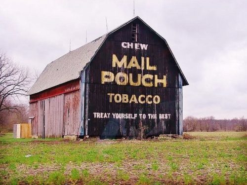
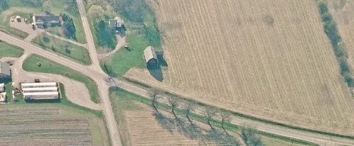
Photos 1 & 2 by unknown VA # 41-HWI-3 (1981) courtesy of
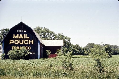
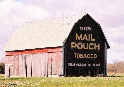
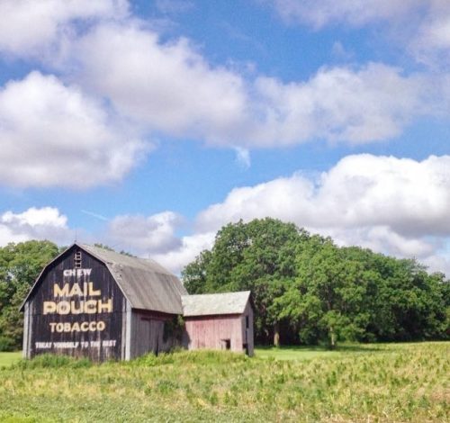
Vintage AerialPhoto 3 by Martha Dougherty (1987).
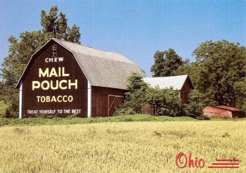
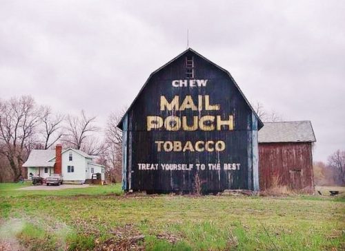
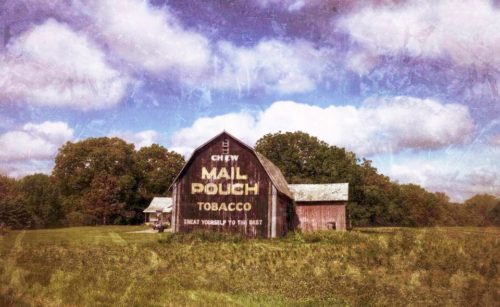
Photo 4 by Ian Adams (1997 Post Card).
Photo 5 by Unknown (Oct. 7, 2001).
Photos 6-10 by unknown.
Photo 11 by Jim Frazier (Oct. 17, 2008).
Photos 12 & 13 by Tim Tonjes (Apr. 20, 2009).
Photo 14 Bing Map's bird's eye view (ca. 2010-12).
Photos 15 & 16 by Stacee Gordon (June 2015).
Photo 17 by Ina Kratzsch (Aug. 2015).
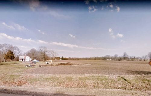
Photo 18 Google street view (Apr. 2018).
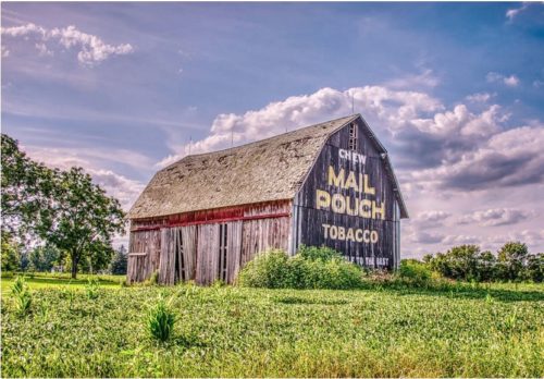
Where to find it *GONE* (razed and removed) Along the northwest side of US Rt. 127 south of High St. intersection, in Bryan, by 3.3 miles. South of the intersection with US Rt. 6 (Grand Army of the Republic Hwy.) by about 1.0 mile. Just north of the Defiance Co. line. The barn is on the right side of the highway headed southwest. The Mail Pouch sign faced east. One end. Black background.
