County
Sides Painted
1
Color
Black
Structure
Barn
Unique Characteristics
None
Still Standing
No
Credits
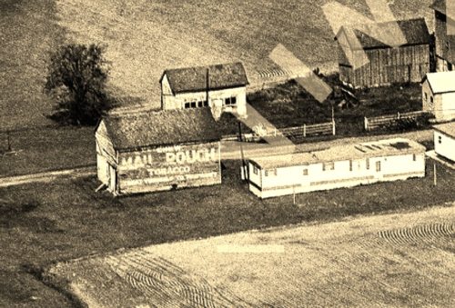
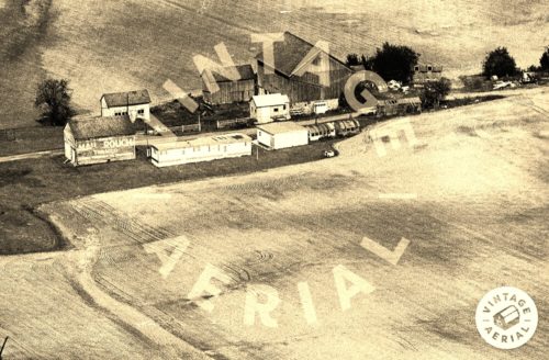
Photos 1 & 2 by unknown VA # 15-PNO-35 (Pre.1986) courtesy of Vintage Aerial
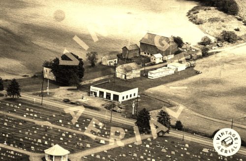
Photo 3 by unknown VA # 16-PNO-1 (pre-1986) courtesy of Vintage Aerial
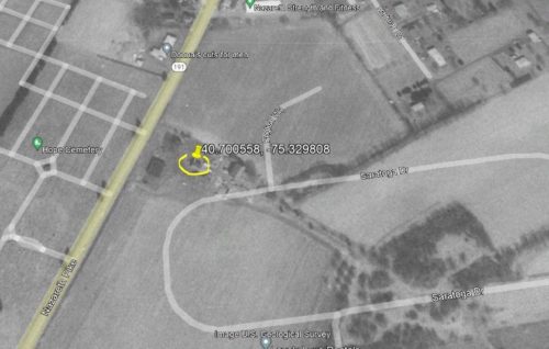
Photo 4 US Geological Survey (Mar. 28, 1992).
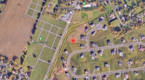
Photo 5 Google satellite image.
Other Information
Photo 1 is an enlarged inset view from Photo 2.
The Address is based on the location today per the decimal coordinates. Originally a farm access road extended east from Nazareth Pike (PA-191) See (Photo 4). Subsequently the buildings were all razed (barn gone by Apr 12, 1999) and the site was redeveloped into a residential area (Photo 5)
Where to find it
*GONE* (razed nd removed) Along the east side of Nazareth Pike (PA-191) northeast of the intersection with US-22 by 1.6 miles. The barn was on the right side of Nazereth Pike headed northeast from US-22. The Mail Pouch sign faced south. One side. Black background.
Address
4351 Saratoga Dr
City
Bethlehem
State
PA
Zipcode
18020
Country
USA
Latitude
N 40° 42.0335'
Longitude
W -75° 19.7885'
lat
40.700558
lng
-75.329808
